Wed, Oct 13th, 2021 - 10:56am
October 12, 2021 - 7:57am | By Dean Wysocki

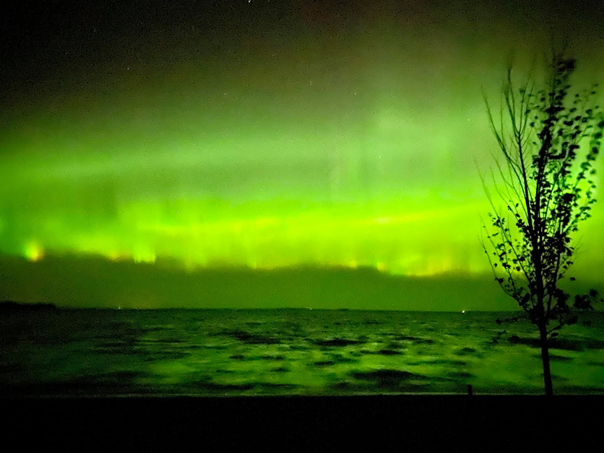
As a solar storm hits the Earth's atmosphere, a great display of northern lights last night. Also, a chilly start in the F/M area with morning temps in the 30s. This is the LATEST we've gone into fall without temps falling into the 30s A wind driven rain system tracks into the area on Wednesday with 1/2" to 1" of rain expected with locally higher amounts possible. After Wednesday's rain and wind, we embark on a dry stretch for about a week to 10 days which is good news for the harvest. Temps should remain close to normal to a little above normal. Our first widespread frost is likely this weekend with our first freeze possible middle of NEXT week. Fall is here!!
Chief Meteorologist,
Dean Wysockiu