


Tue, Feb 23rd, 2021 - 7:11am
February 22, 2021 - 6:43am | By Dean Wysocki
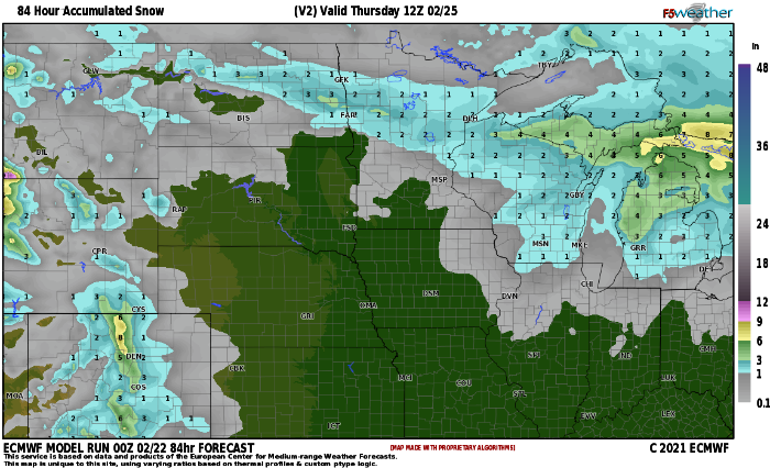
Let's start with the GOOD news and that is TODAY'S weather!!! Mild and breezy with some RAIN showers possible this afternoon. Winds will be kicking out of the WSW about 15-30 and gusty as temps warm into the 40s....last time we saw a 40 degree temp was Jan. 14th. A storm system approaches the area on Tuesday and all models are producing snow. The question is how much? There is expected to be a narrow band (50 miles wide) of heavier snow totals. There is quite a bit of forcing around 700mb (10k feet aloft) and this will enhance the snowfall. Heaviest snowfall is expected to lie between Fargo and Grand Forks but a small shift in the track of the storm could alter snowfall totals. Right now, it appears 2-4" is likely with some isolated 5-6" amounts possible. The snow should start on Tuesday afternoon and last through Tuesday night ending by midnight. The rest of the week looks quiet with temps in the 20s and 30s.
Chief Meteorologist,
Dean Wysocki


